

- Kurzbeschreibung
-
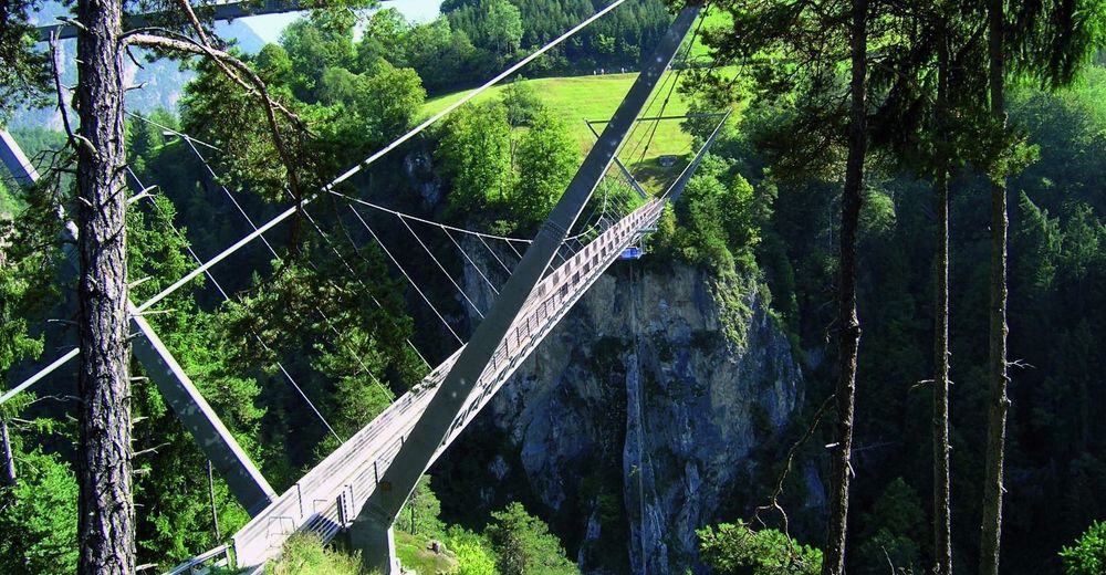
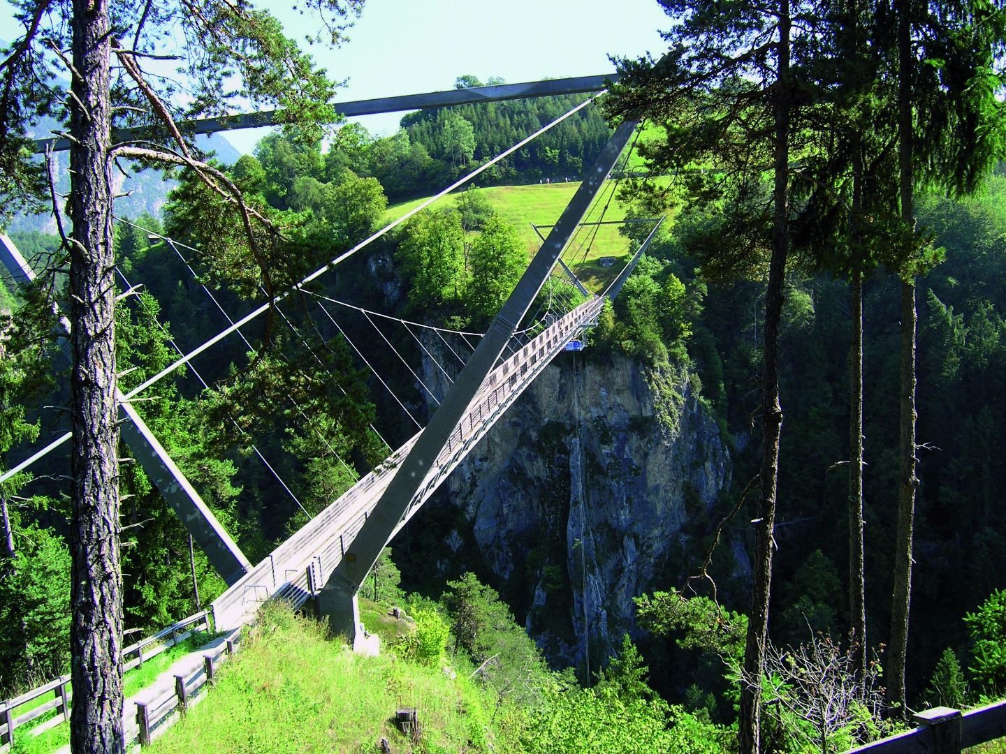
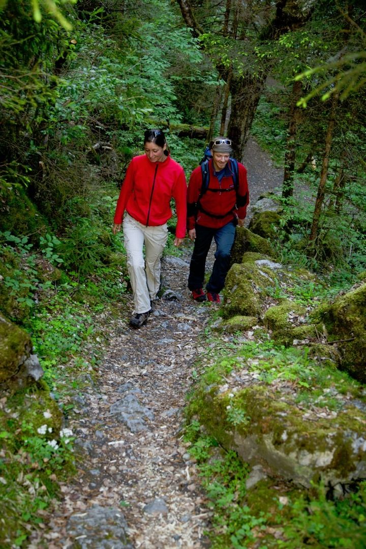
Wandern durch die wildromatische Pitzenklamm (Natura 2000) mit Informationstafeln des Naturpark Kaunergrat. Ein weiteres Highlight ist die 94 m hohe Benni-Raich-Brücke.
- Schwierigkeit
-
mittel
- Bewertung
-
- Wegverlauf
-
Pitzenebene0,4 kmWald3,3 kmBungy Stüberl4,2 kmPitzenebene4,4 kmEggles4,4 kmArzl im Pitztal (880 m)4,7 km
- Beste Jahreszeit
-
JanFebMärAprMaiJunJulAugSepOktNovDez
- Beschreibung
-
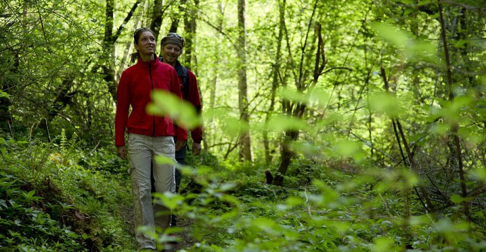
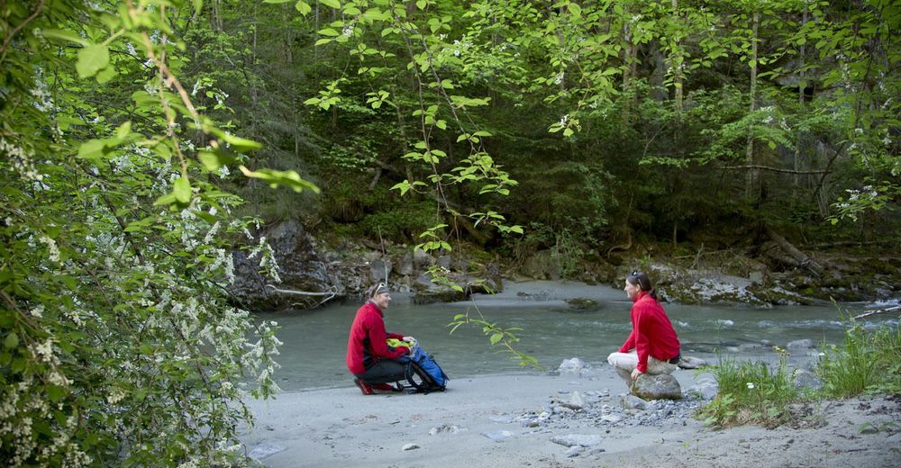
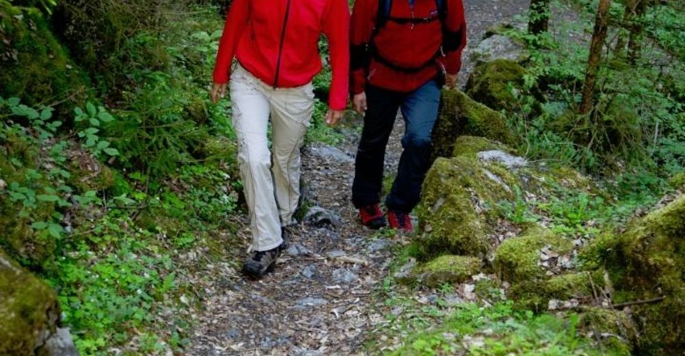
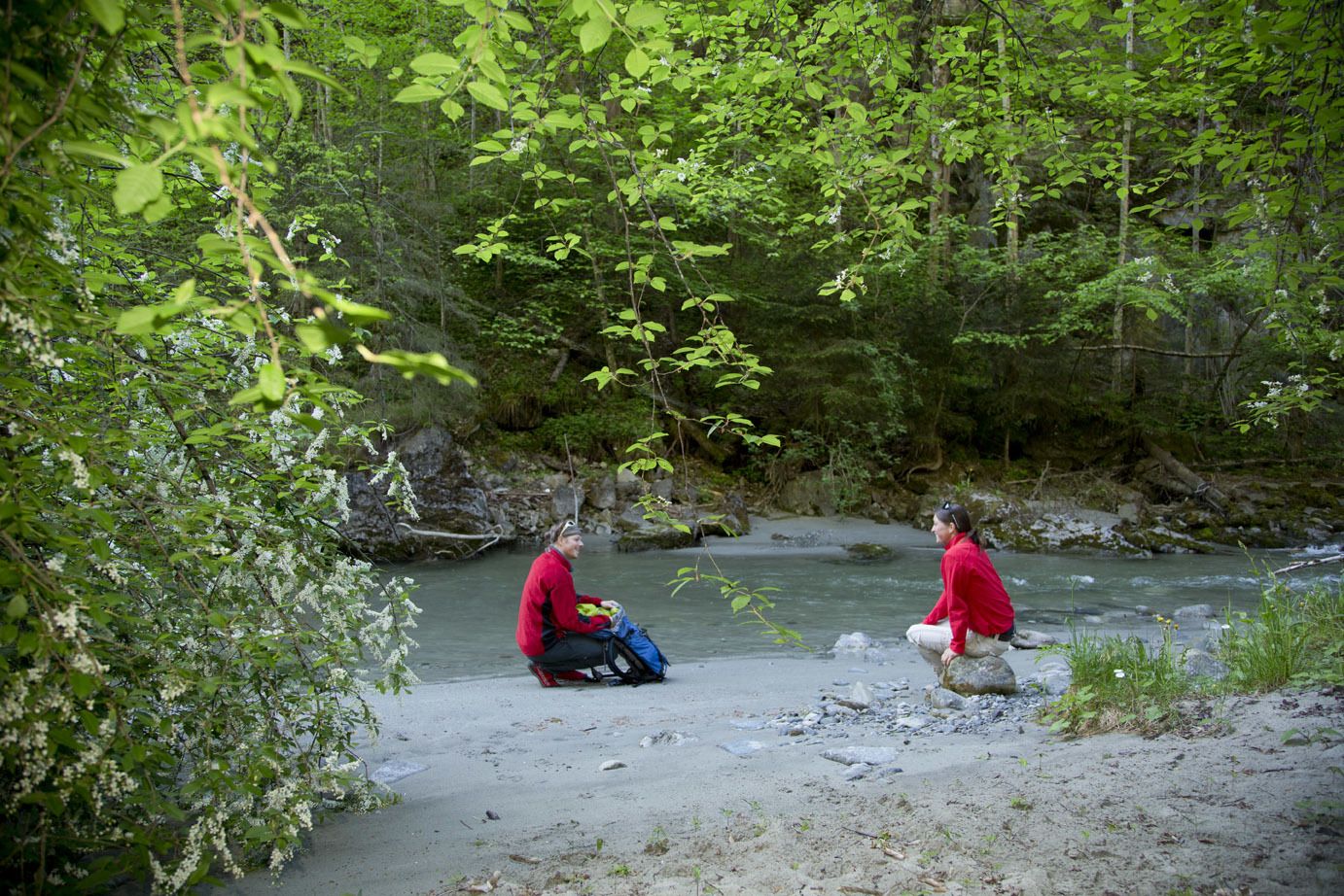
From the starting point at the car park of the Luis Trenker Trail cross the road and walk along the popular path through the Pitzenklamm gorge. At the end of the Luis Trenker Trail, where the Pitze joins the Inn river, follow the tarmacked Inn valley cycle path (Inntalradweg) to the right to the entrance of the path of the gorge. This leads to the hamlet Wald/Niederried. At the fountain and the bus stop Wald Wendestelle follow the tarmacked side road on the right after approximately 100 metres that leads to a farm track. Follow it to the 94 m high suspension bridge. After crossing the bridge have a break at Bungy Stüberl. Refreshed, continue to walk on the side street Pitzenebene to the bus stop Arzl i.P. Pitzenebene. Then follow the path at the bus stop Parkplatz Bungy Stüberl down as it leads back to the starting point. Should you be afraid of heights continue to walk to the fire station from the hamlet Wald. From there turn right and follow the road to the end of the village. A forest path on the right will then take you back to the starting point. Caution, you will have to walk the last 100 m run along the roadside.
- Höchster Punkt
- 873 m


-
Outdoorregion Imst
1227
-
Arzl im Pitztal
286