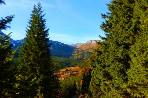
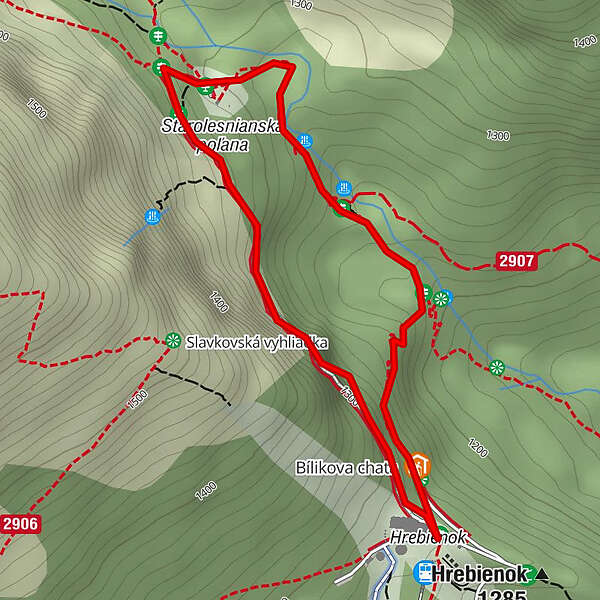
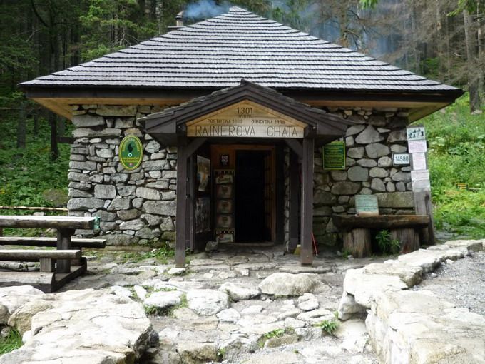
Hrebienok – Rainerova chata - Vodopády Studeného potoka – Bilíkova chata – Hrebienok

Wanderung

© Region Hohe Tatra - Monika Kromkova
Tourdaten
2,7km
1.217
- 1.327m
113hm
120hm
00:59h
Region Hohe Tatra
- Ausgangspunkt
-
Hrebienok
- Wegverlauf
-
HrebienokĽadopád v záhradkách0,8 kmRainerova chata1,2 kmVodopády Studeného potoka1,7 kmDlhý vodopád2,1 kmBilíkova chata2,5 kmHrebienok2,7 km
- Höchster Punkt
- 1.327 m
- Zielpunkt
-
Hrebienok
- Höhenprofil
-
 © outdooractive.com
- Autor
-
Region Hohe TatraDie Tour Hrebienok – Rainerova chata - Vodopády Studeného potoka – Bilíkova chata – Hrebienok wird von outdooractive.com bereitgestellt.
GPS Downloads


Weitere Touren in den Regionen
-
Poprad
97
-
Bachledka - Ždiar
30