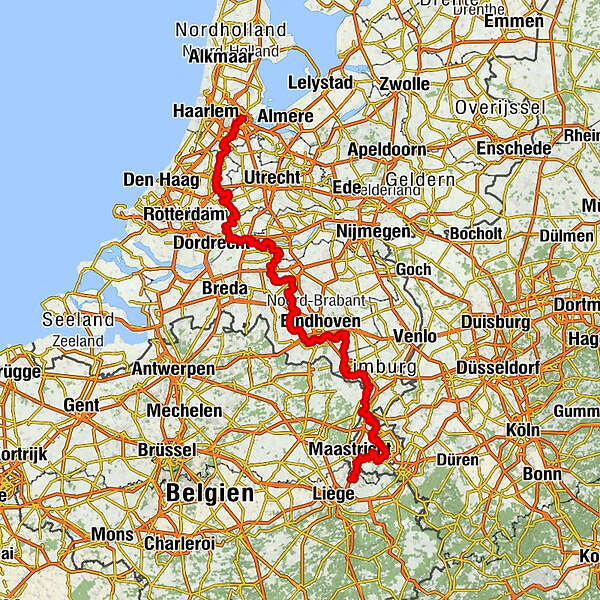
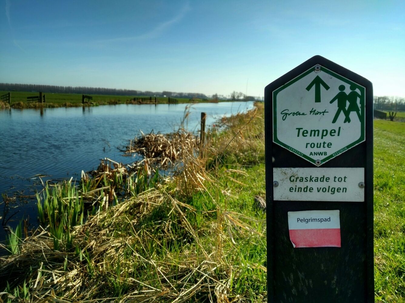
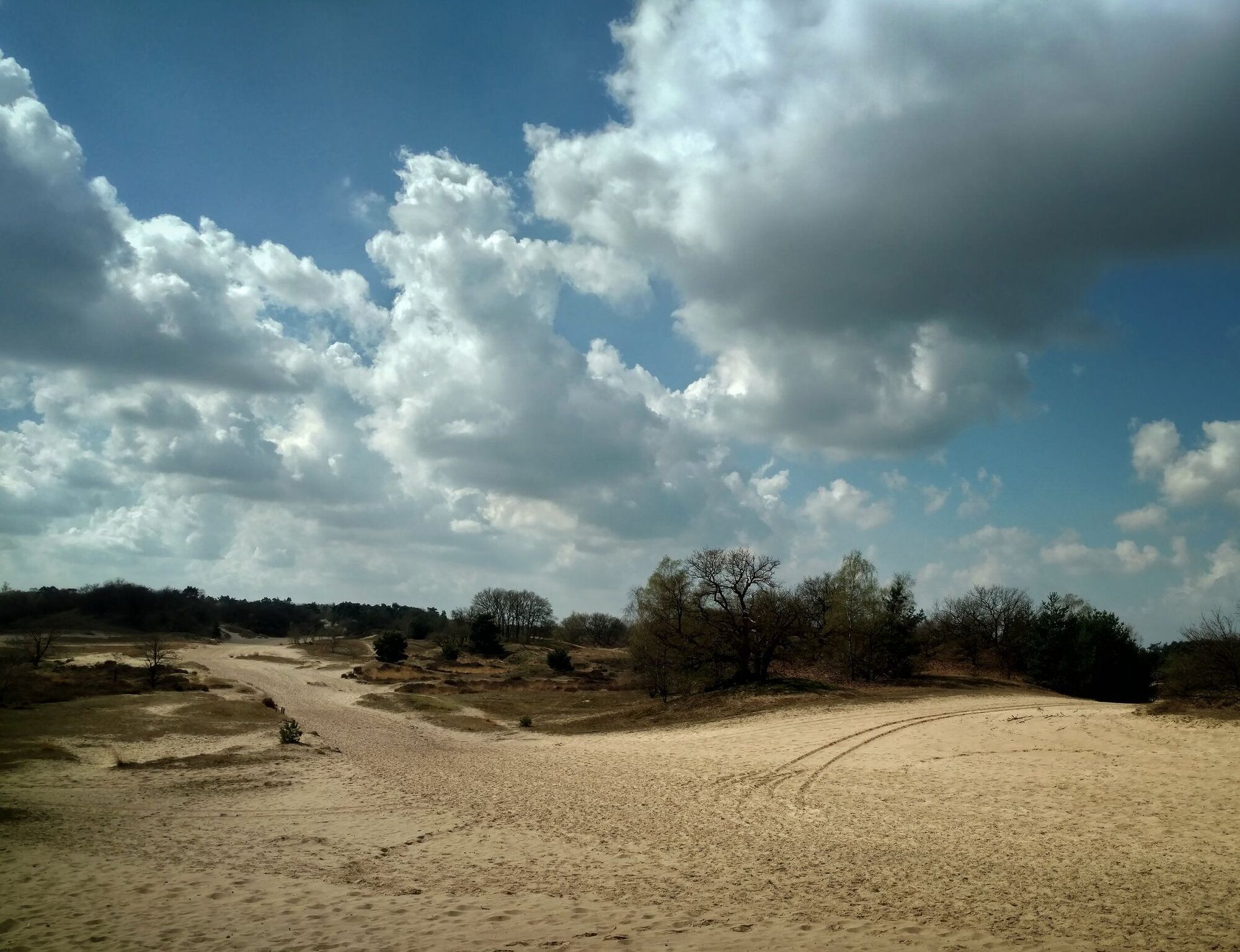
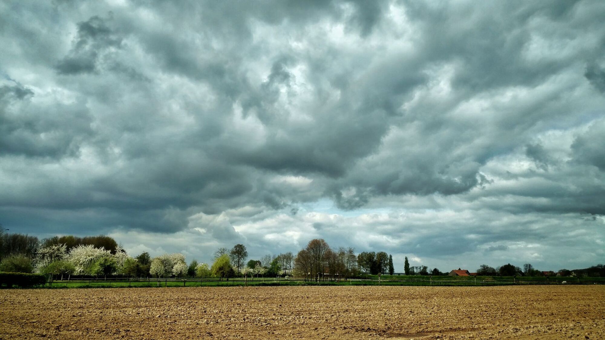
Pelgrimspath through The Netherlands (Pelgrimspad)

Fernwanderweg

© EVAdinarica Project - EVA dinarica

© EVAdinarica Project - EVA dinarica

© EVAdinarica Project - EVA dinarica

© EVAdinarica Project - EVA dinarica

© EVAdinarica Project - EVA dinarica

© EVAdinarica Project - EVA dinarica

© EVAdinarica Project - EVA dinarica

© EVAdinarica Project - EVA dinarica

© EVAdinarica Project - EVA dinarica

© EVAdinarica Project - EVA dinarica

- Kurzbeschreibung
-
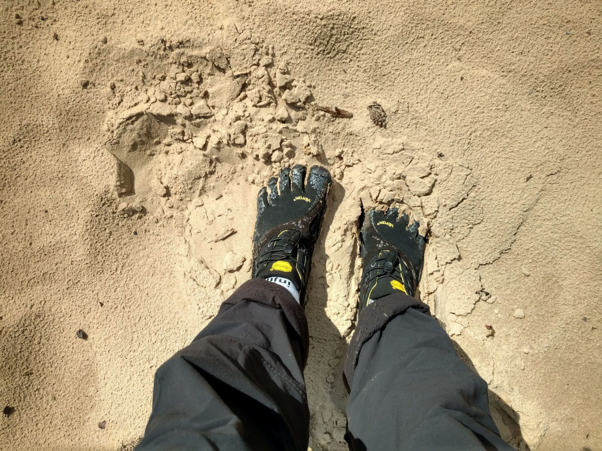
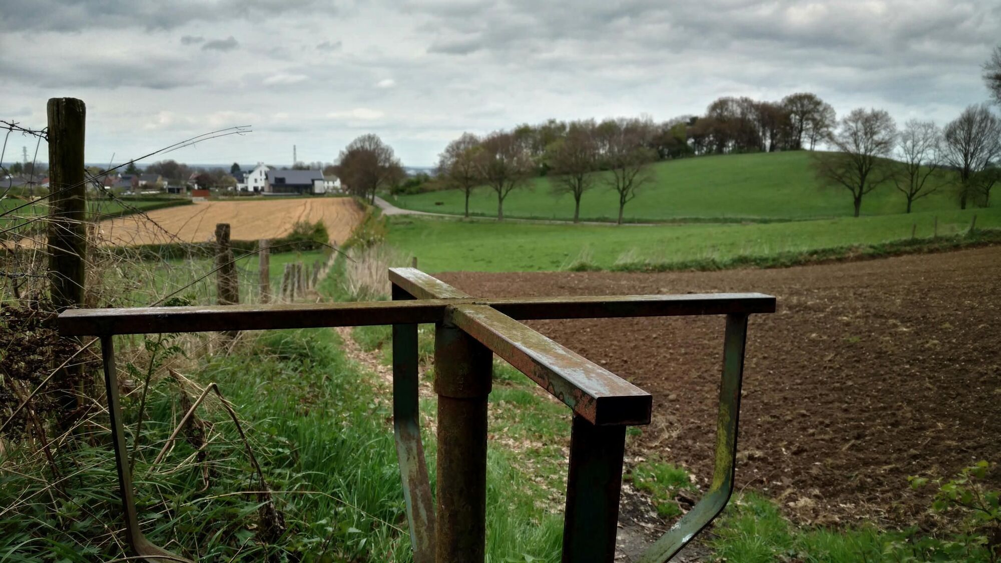
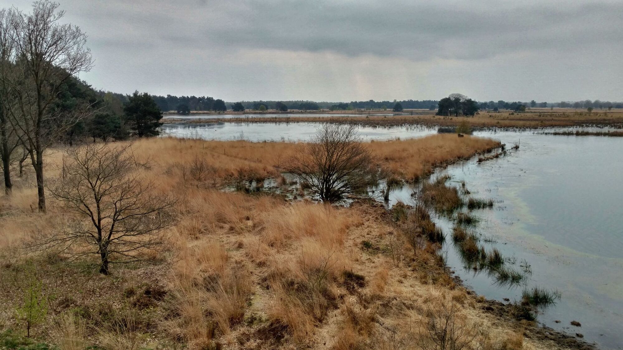
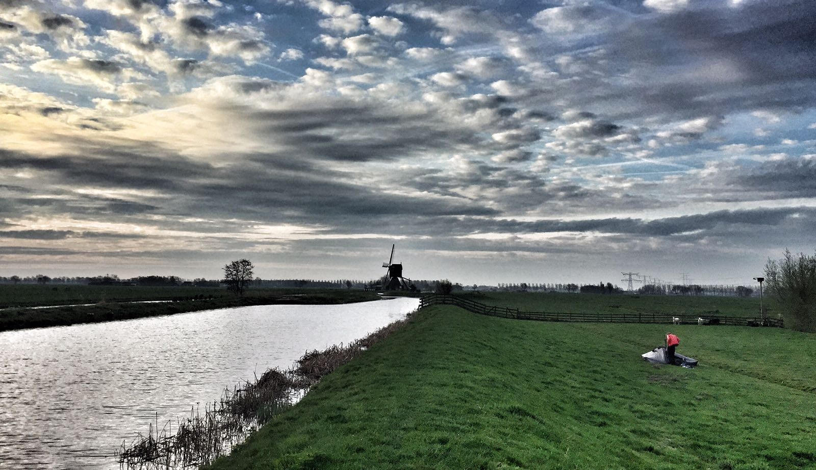
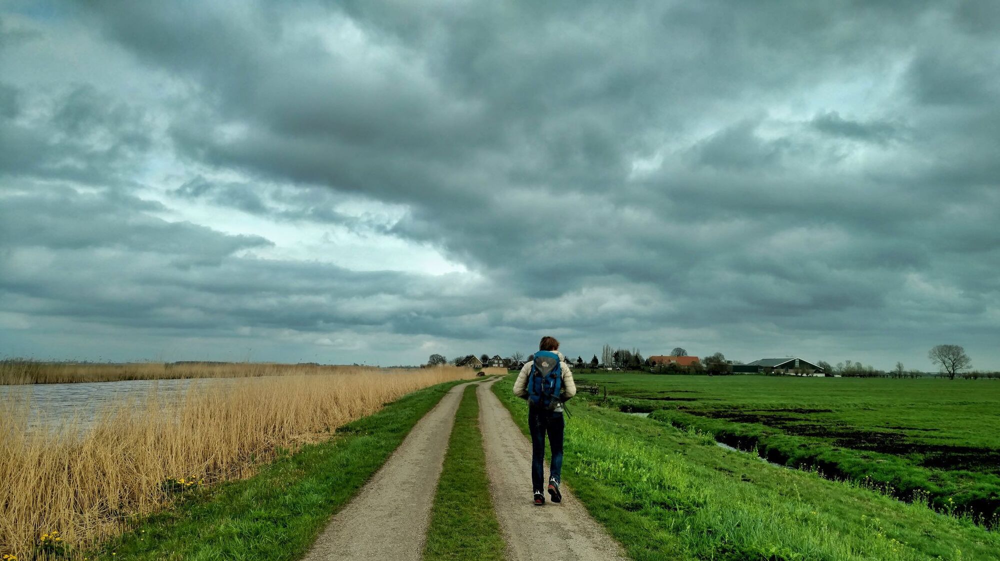
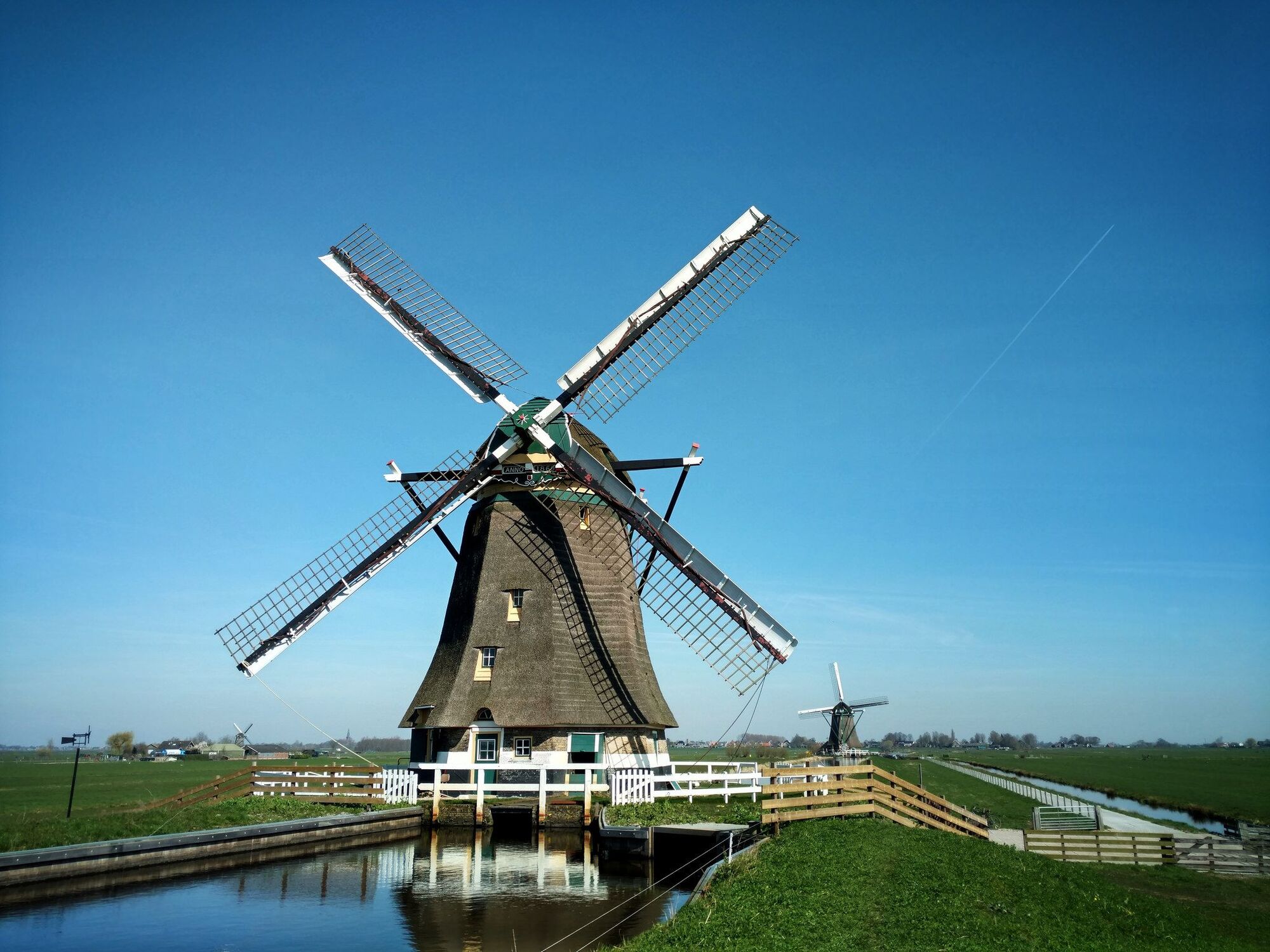
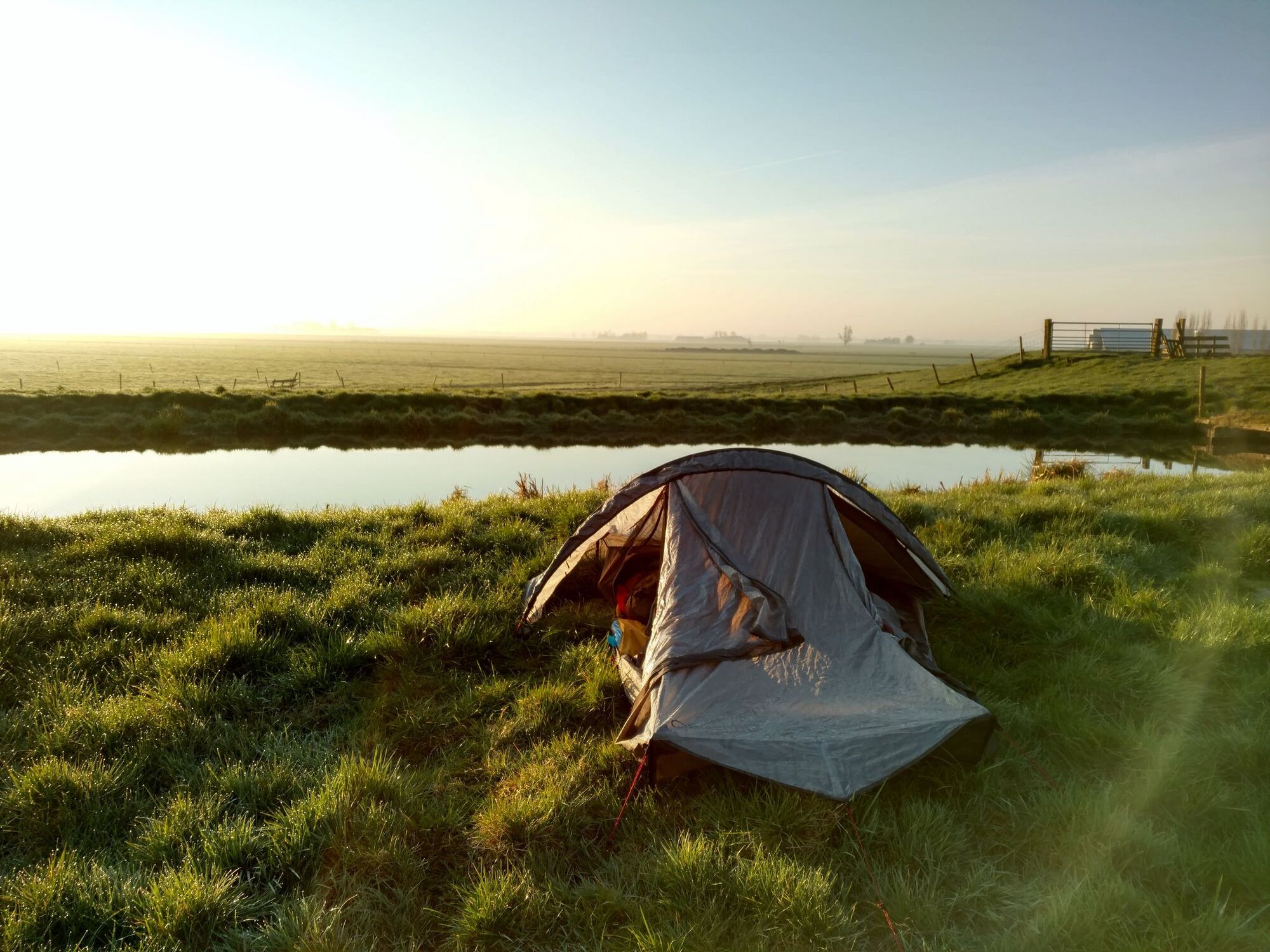
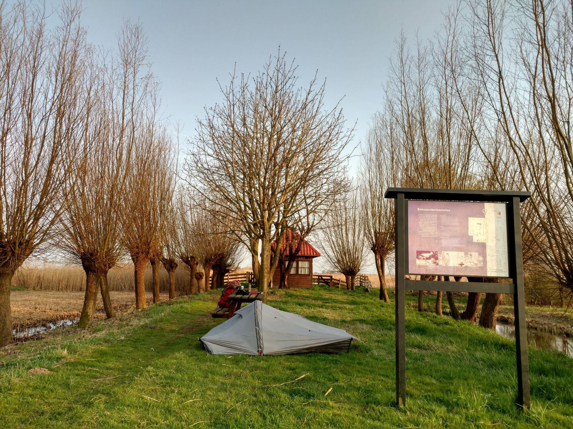
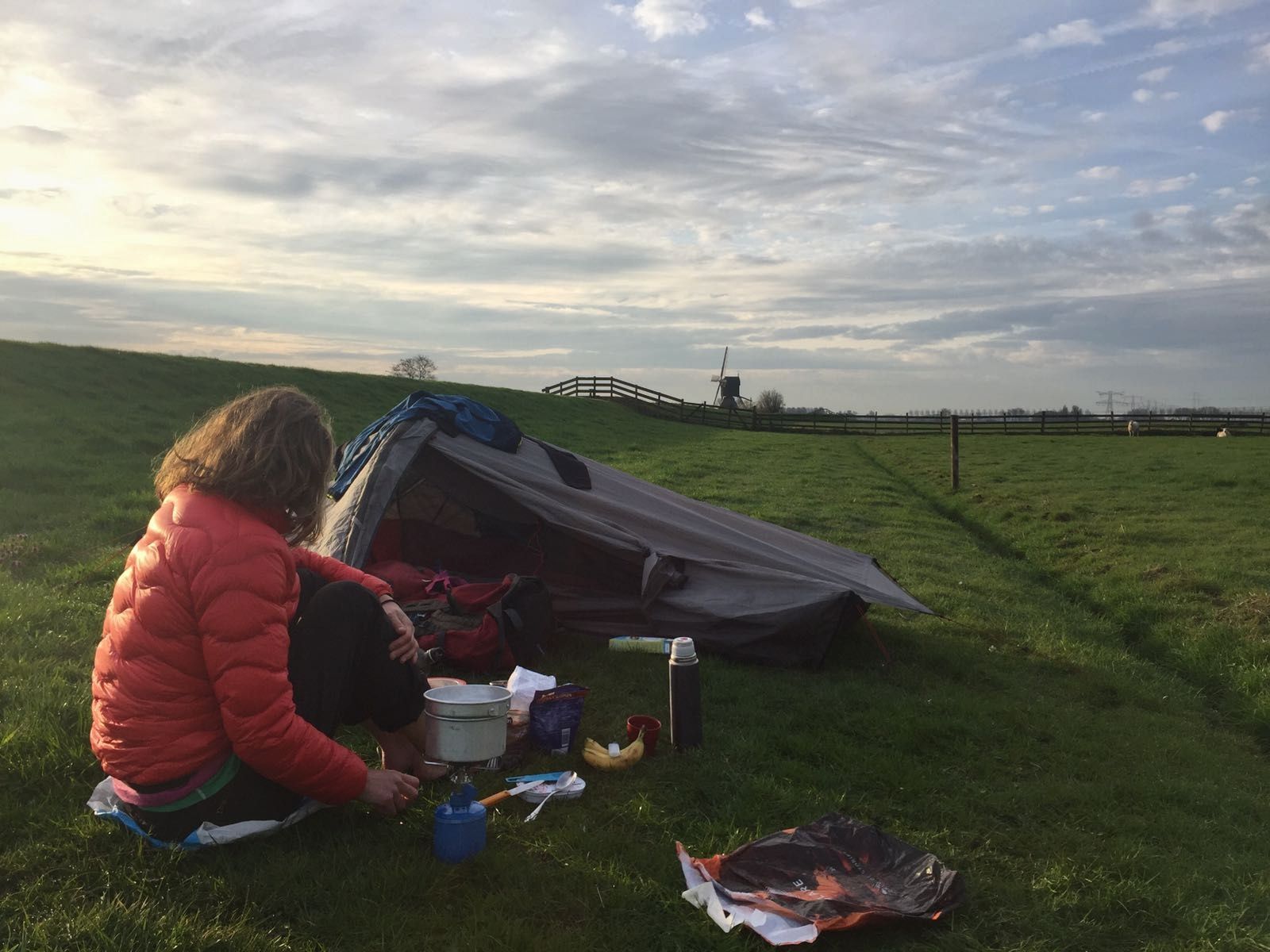
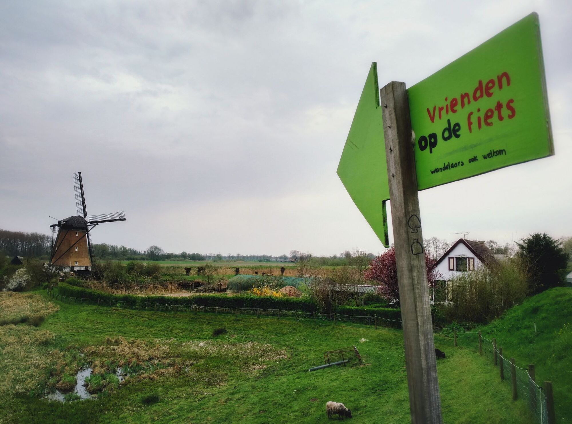
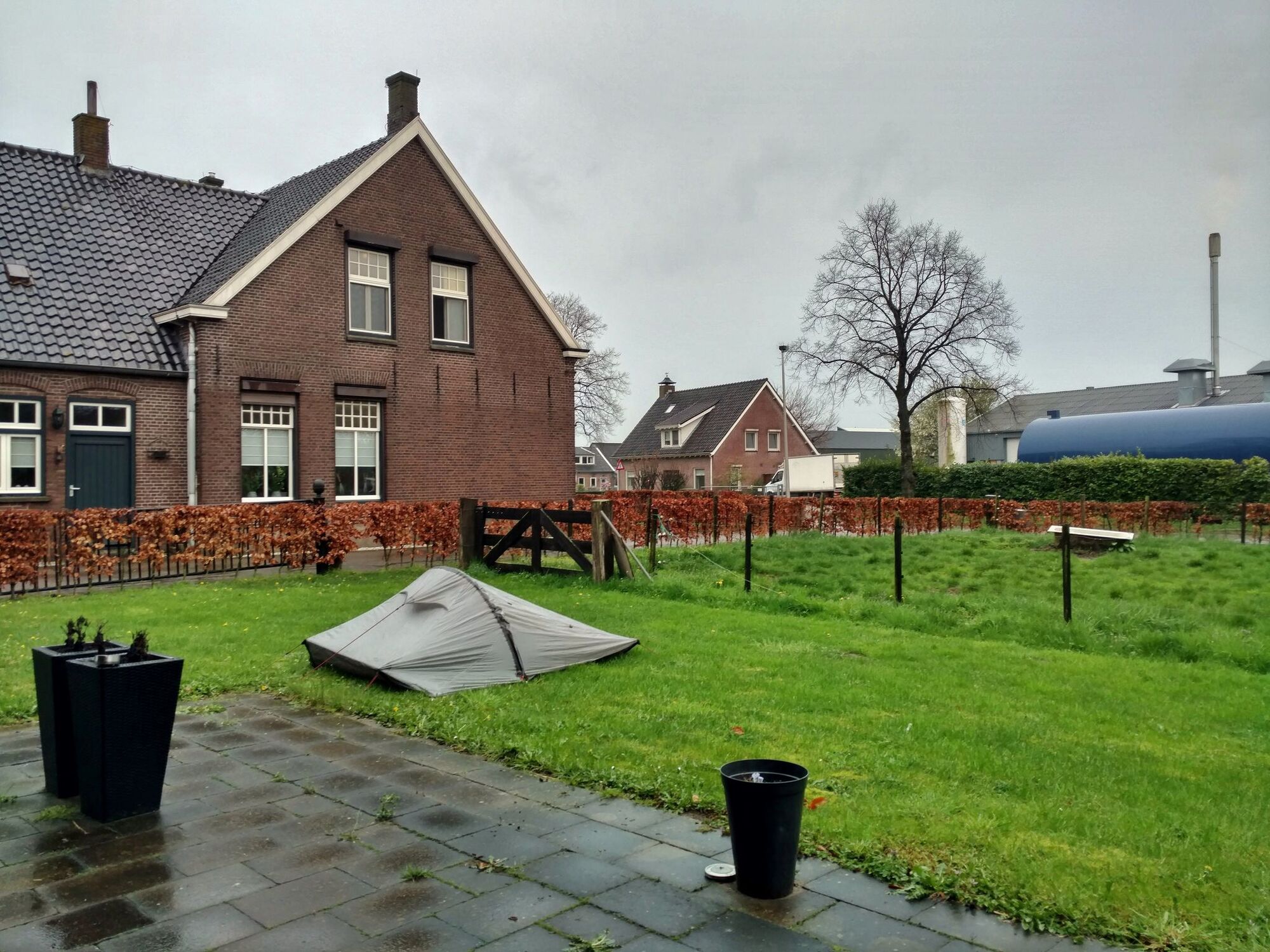
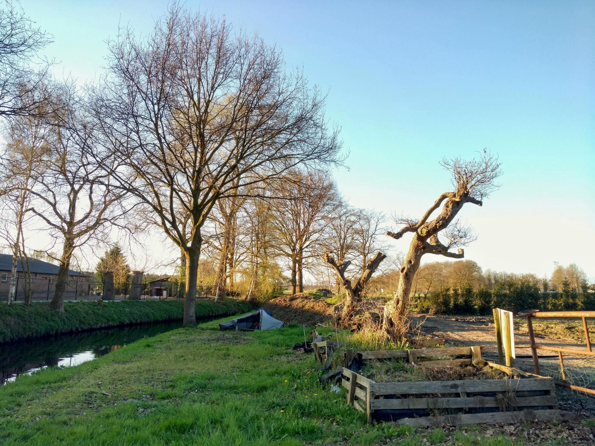
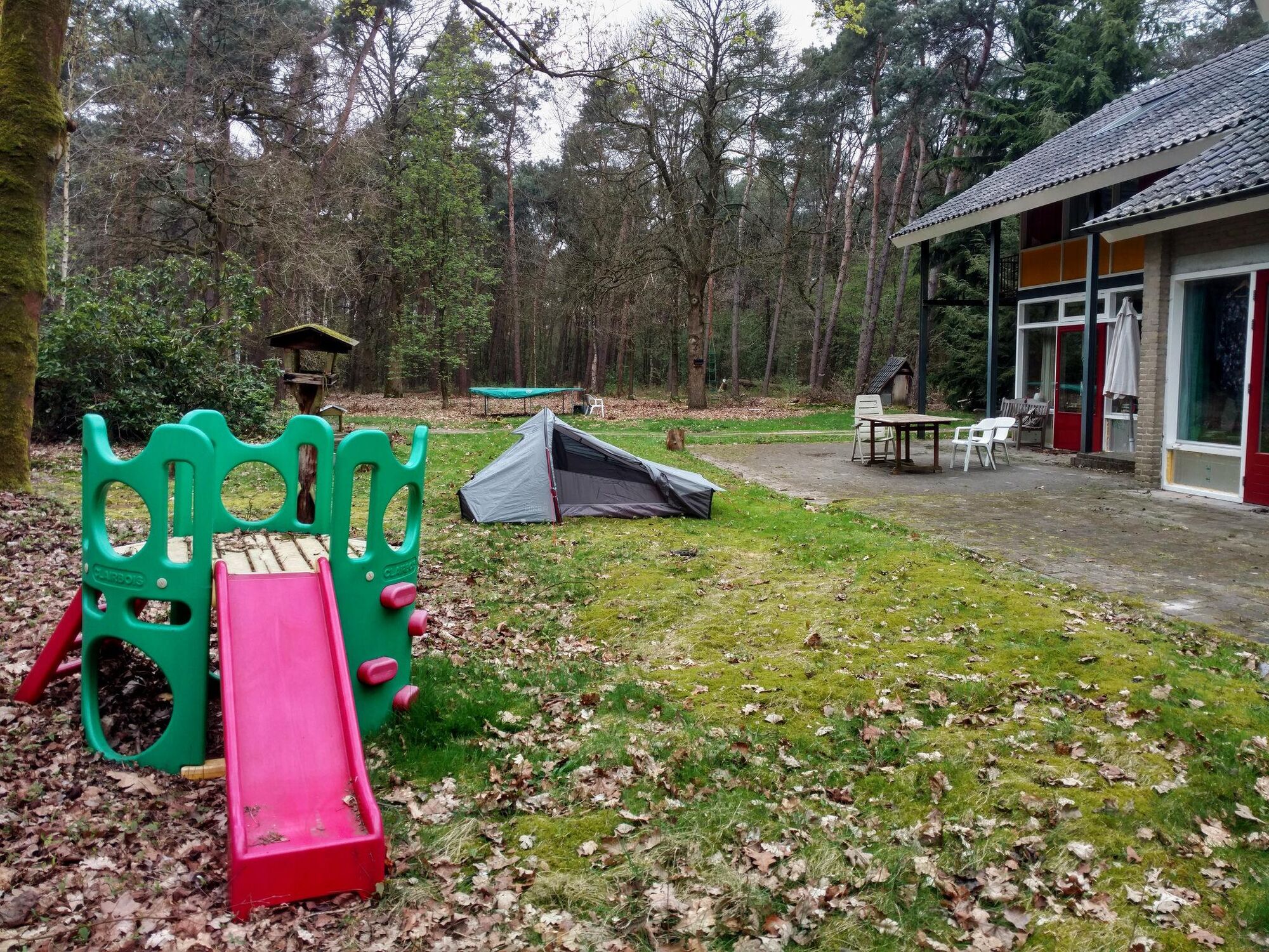
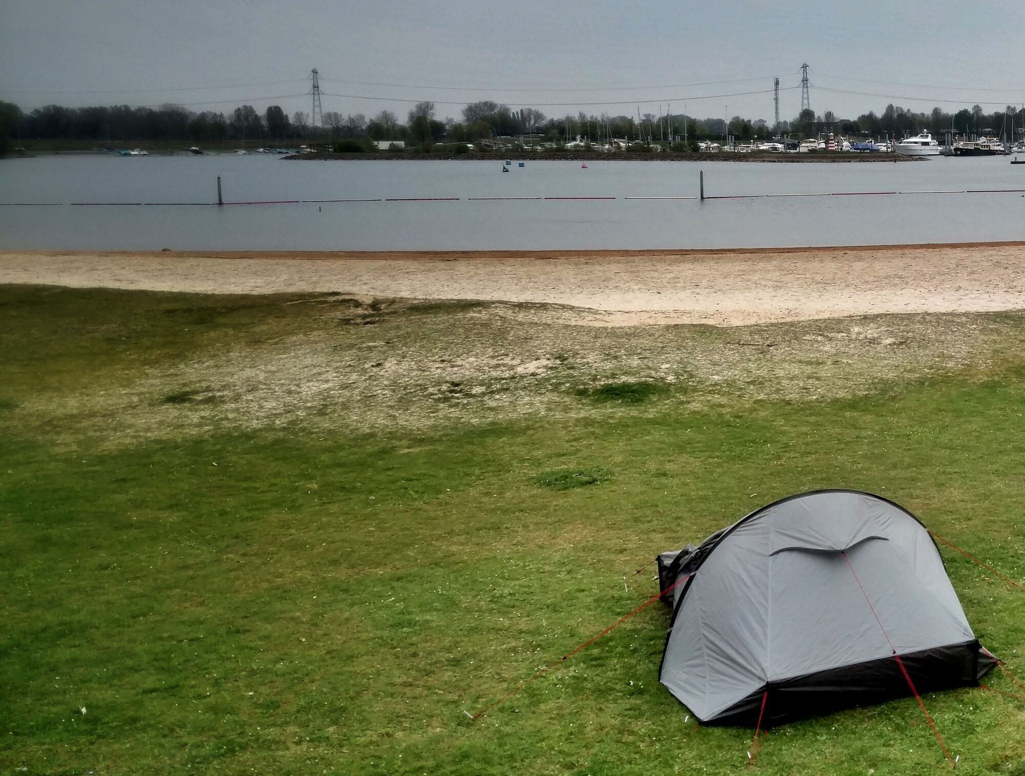
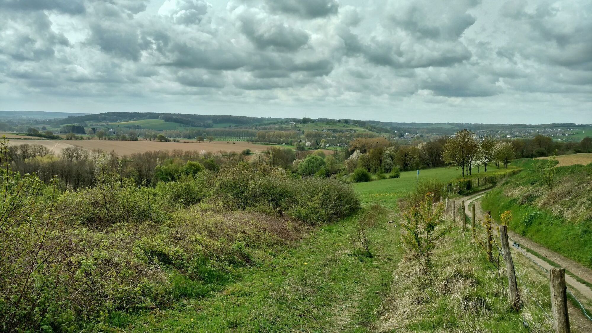
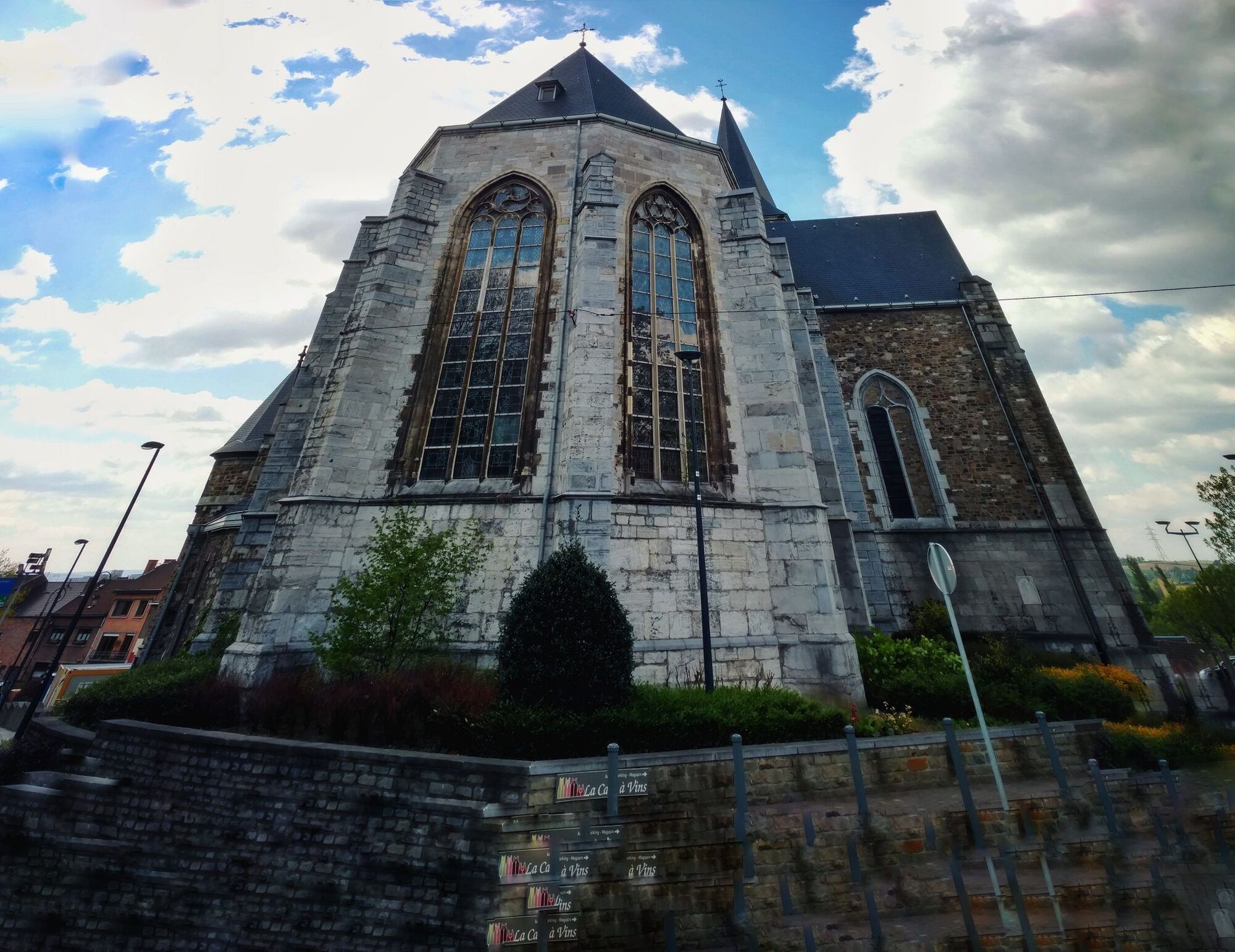
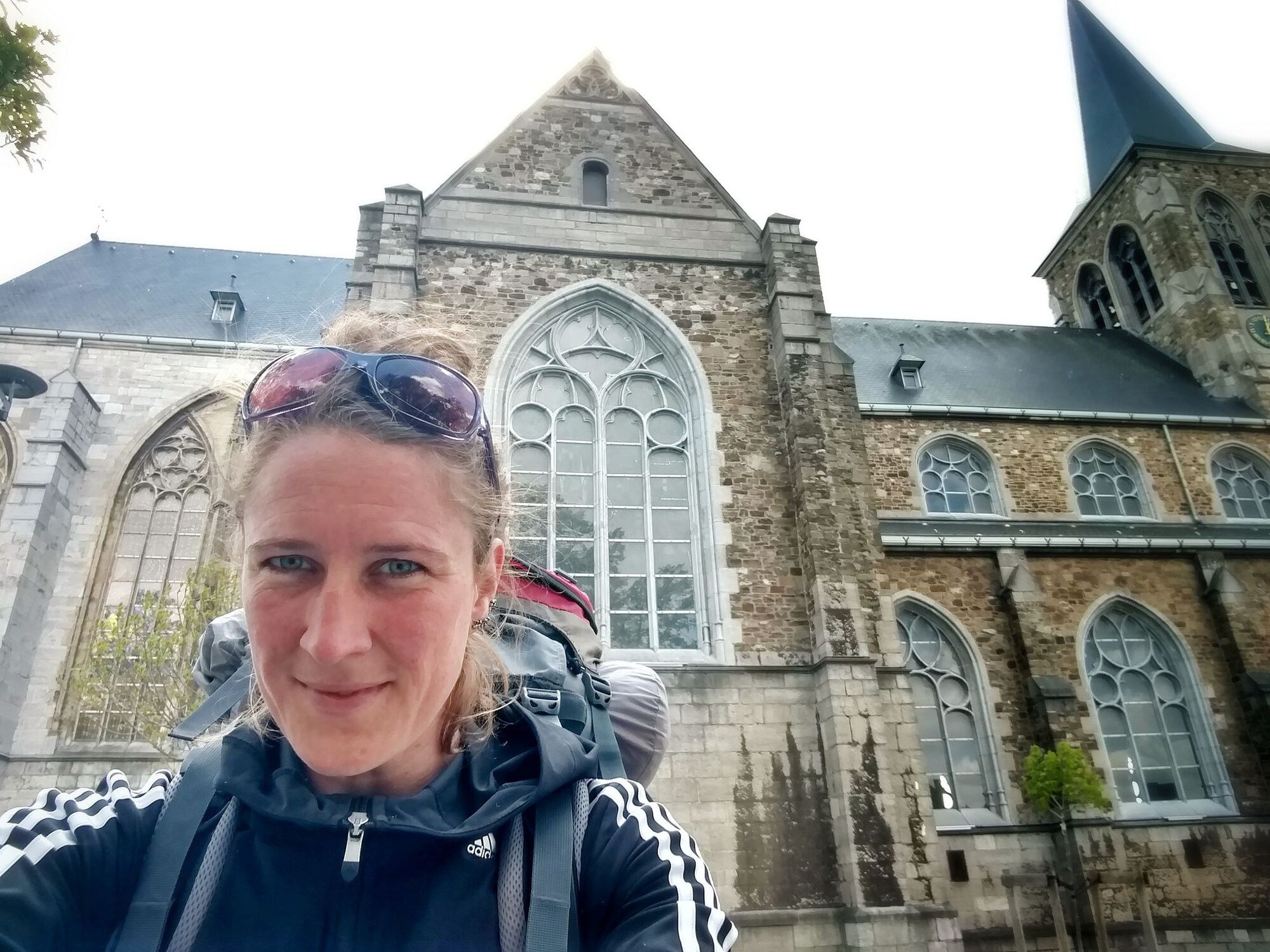
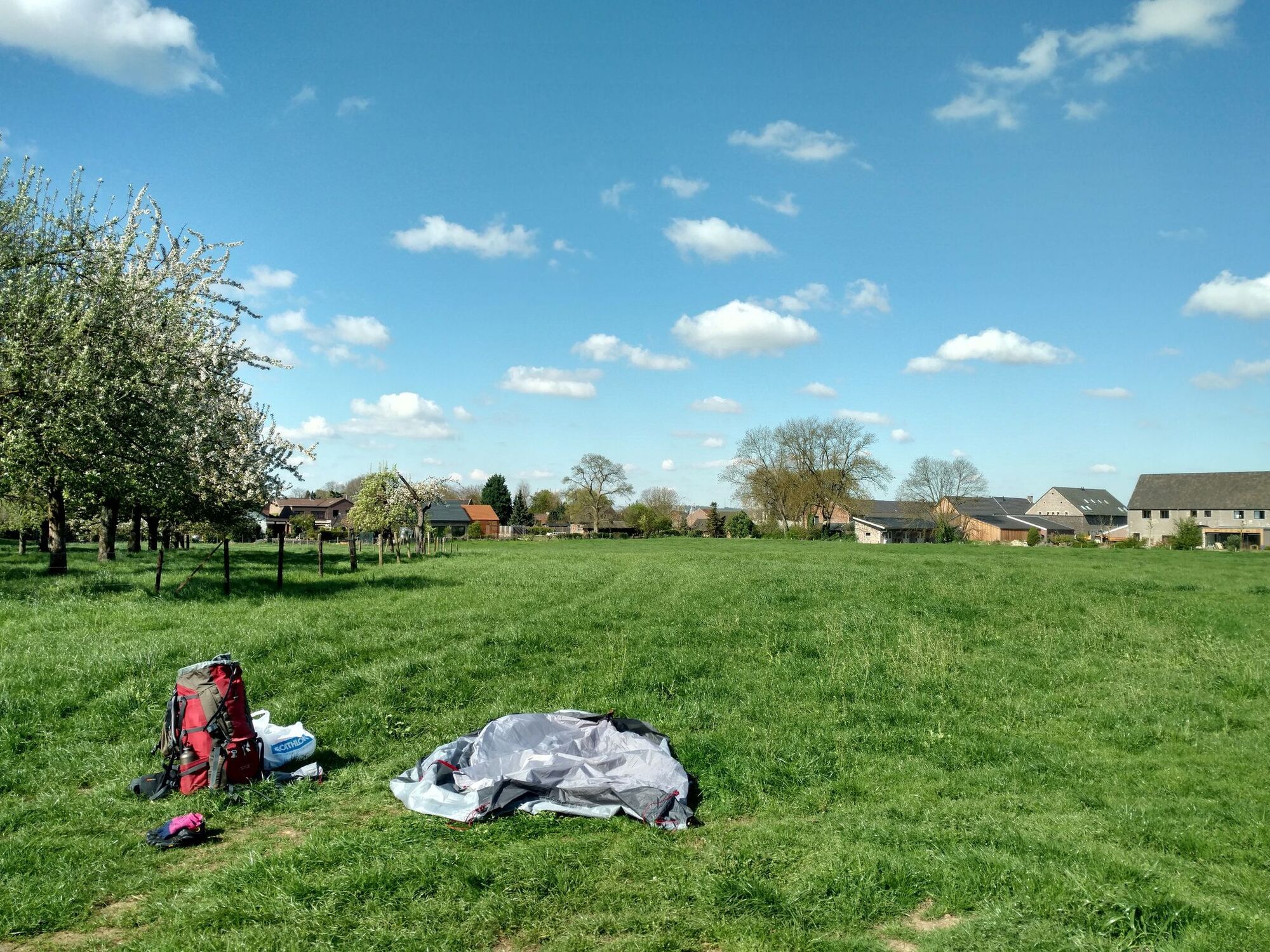
Where nature meets culture. Long distance hiking trail through the Netherlands that starts in Amsterdam, heads south towards 's Hertogenbosch and ends in Wezet (Visé). This Pilgrims' route connects several Dutch National and Nature Parks, but it surely also comes along many many churches, chapels, shrines and cathedrals.
- Schwierigkeit
-
leicht
- Bewertung
-
- Beste Jahreszeit
-
JanFebMärAprMaiJunJulAugSepOktNovDez
- Höchster Punkt
- 209 m
- Zielpunkt
-
Wezet (Visé)
- Höhenprofil
-
 © outdooractive.com


-

-
AutorDie Tour Pelgrimspath through The Netherlands (Pelgrimspad) wird von outdooractive.com bereitgestellt.
GPS Downloads


Allgemeine Infos
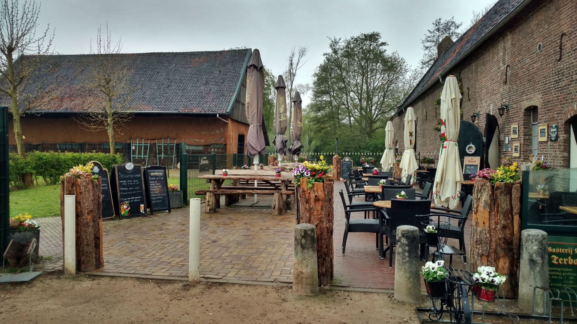
Einkehrmöglichkeit
Kulturell/Historisch
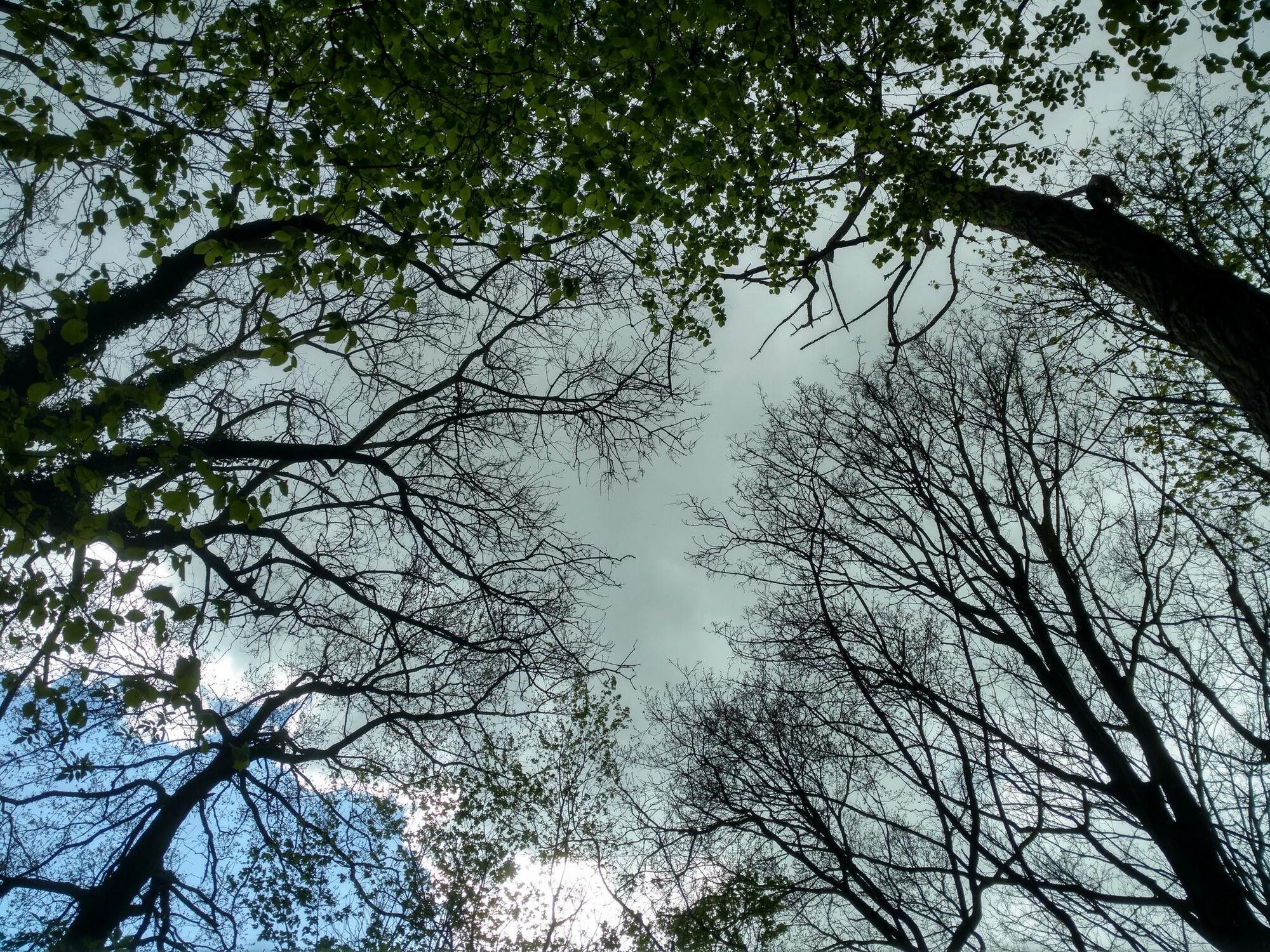
Flora
Fauna
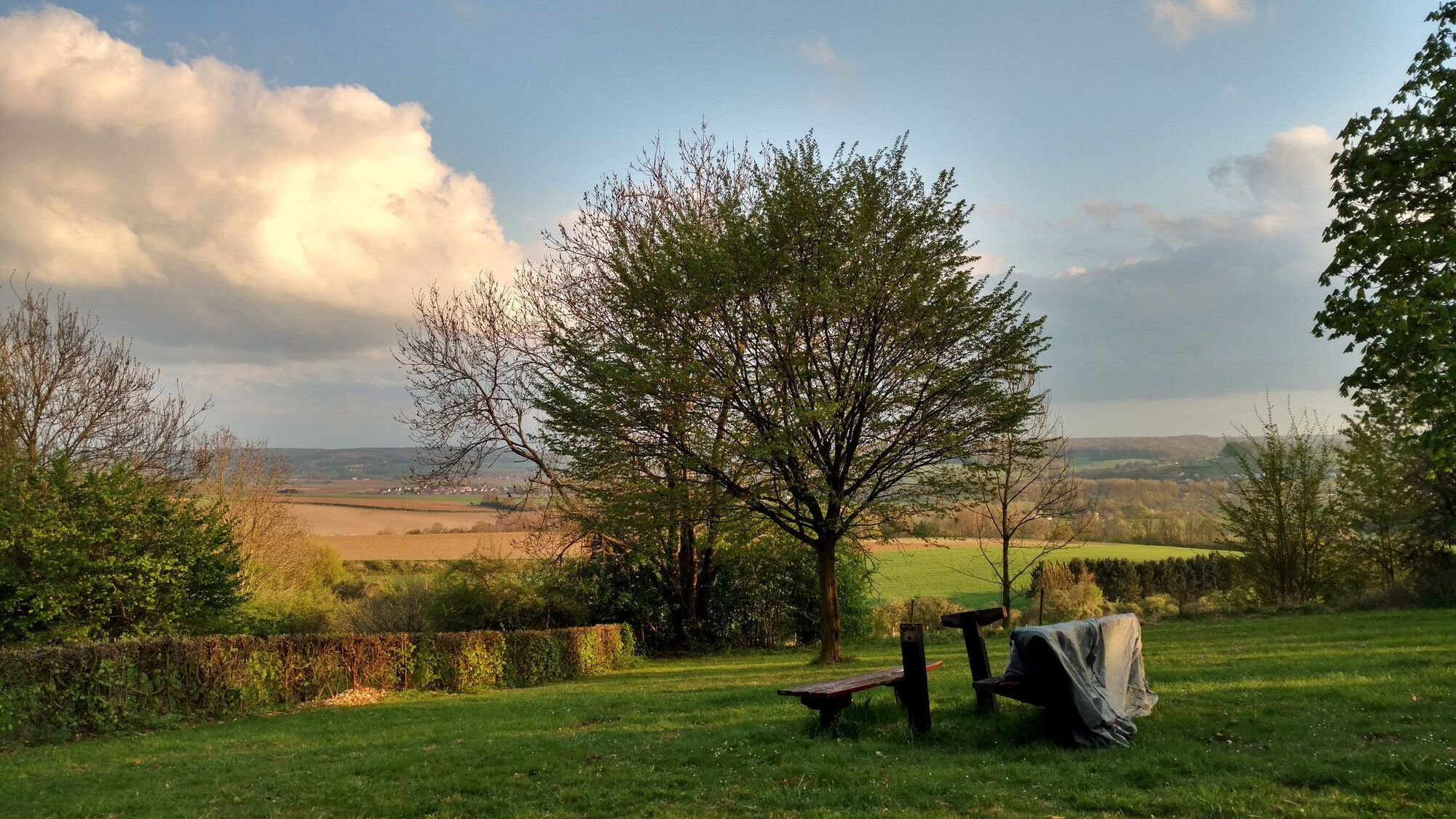
Aussichtsreich
Weitere Touren in den Regionen