Struge - Lipa Staza - PD Paklenica (Via Dinarica day 52)

Fernwanderweg

© EVAdinarica Project - EVA dinarica


- Kurzbeschreibung
- Wegverlauf
-
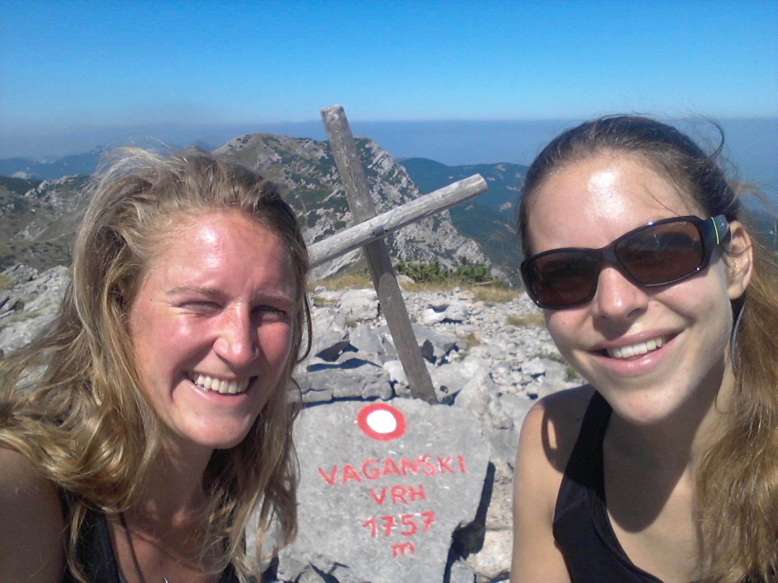
Planinarsko sklonište Struge0,0 kmMarasovac drinking well1,1 kmVaganski vrh (1.757 m)4,5 kmRamići9,0 kmRamića Dvori9,2 kmPlaninarski dom Paklenica9,9 km
- Höchster Punkt
- 1.736 m
- Höhenprofil
-
 © outdooractive.com
-

-
AutorDie Tour Struge - Lipa Staza - PD Paklenica (Via Dinarica day 52) wird von outdooractive.com bereitgestellt.