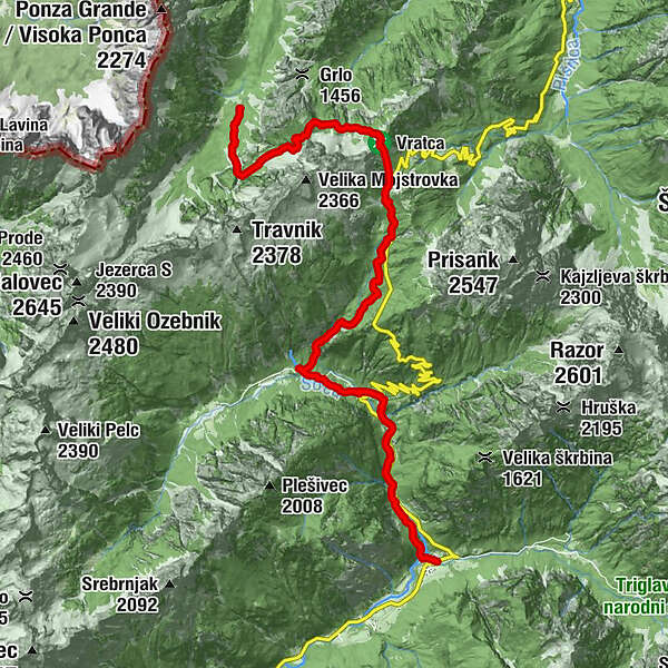
Via Alpina Slovenia: Red trail Stage 13 (Trenta-Tamar)

Wanderung

© Arhiv LTO Kranjska Gora - Matjaž Vidmar
- Kurzbeschreibung
-
This stage leads through the Trenta valley and the source of the Soča river. There is a view of the Trenta valley during the climb to Vršič, the highest pass in Slovenia.
- Schwierigkeit
-
schwer
- Bewertung
-
- Wegverlauf
-
Trentathal0,1 kmVršič nad Logom (717 m)0,6 kmPri Cerkvi2,2 kmNa Turi3,2 kmKoča pri izviru Soče4,9 kmTičarjev dom na Vršiču8,9 kmVratca prelaz10,0 kmSlatnica (1.815 m)11,5 kmLovski studenec11,9 kmSlap Črne vode13,3 kmPlaninski dom Tamar14,3 km
- Beste Jahreszeit
-
JanFebMärAprMaiJunJulAugSepOktNovDez
- Höchster Punkt
- 1.809 m
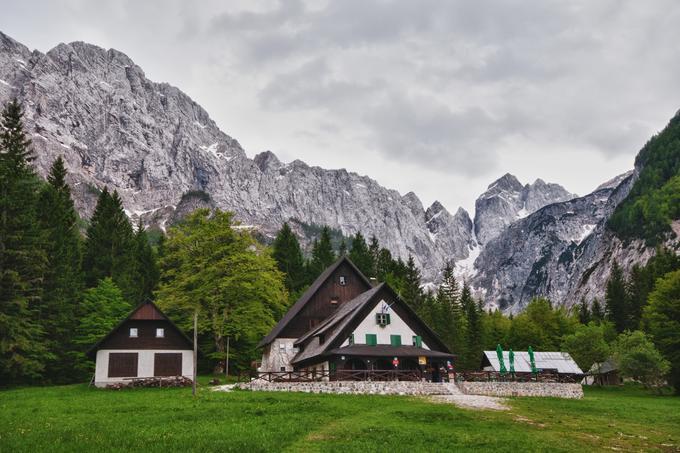
- Zielpunkt
-
Hut in Tamar
- Höhenprofil
-
 © outdooractive.com
- Autor
-
Die Tour Via Alpina Slovenia: Red trail Stage 13 (Trenta-Tamar) wird von outdooractive.com bereitgestellt.
GPS Downloads


Allgemeine Infos
Kulturell/Historisch
Flora
Aussichtsreich
Weitere Touren in den Regionen
-
Region Villach - Faaker See - Ossiacher See
2064
-
Goriška
389
-
Trenta
155


