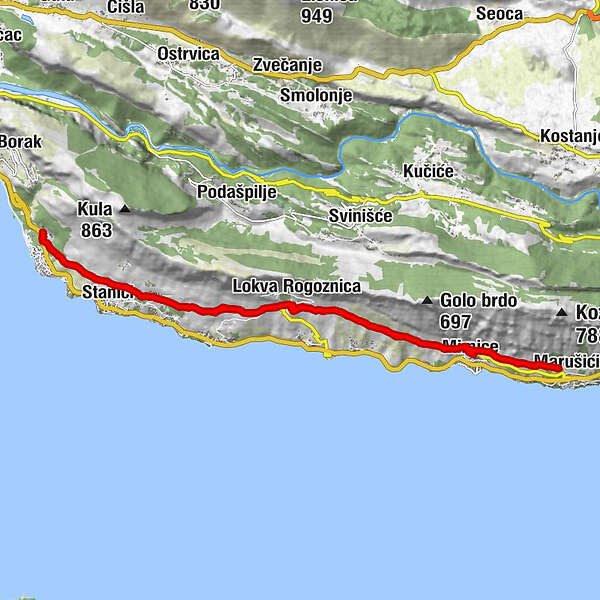
Tourdaten
22,38km
83
- 256m
374hm
372hm
01:45h
- Kurzbeschreibung
-
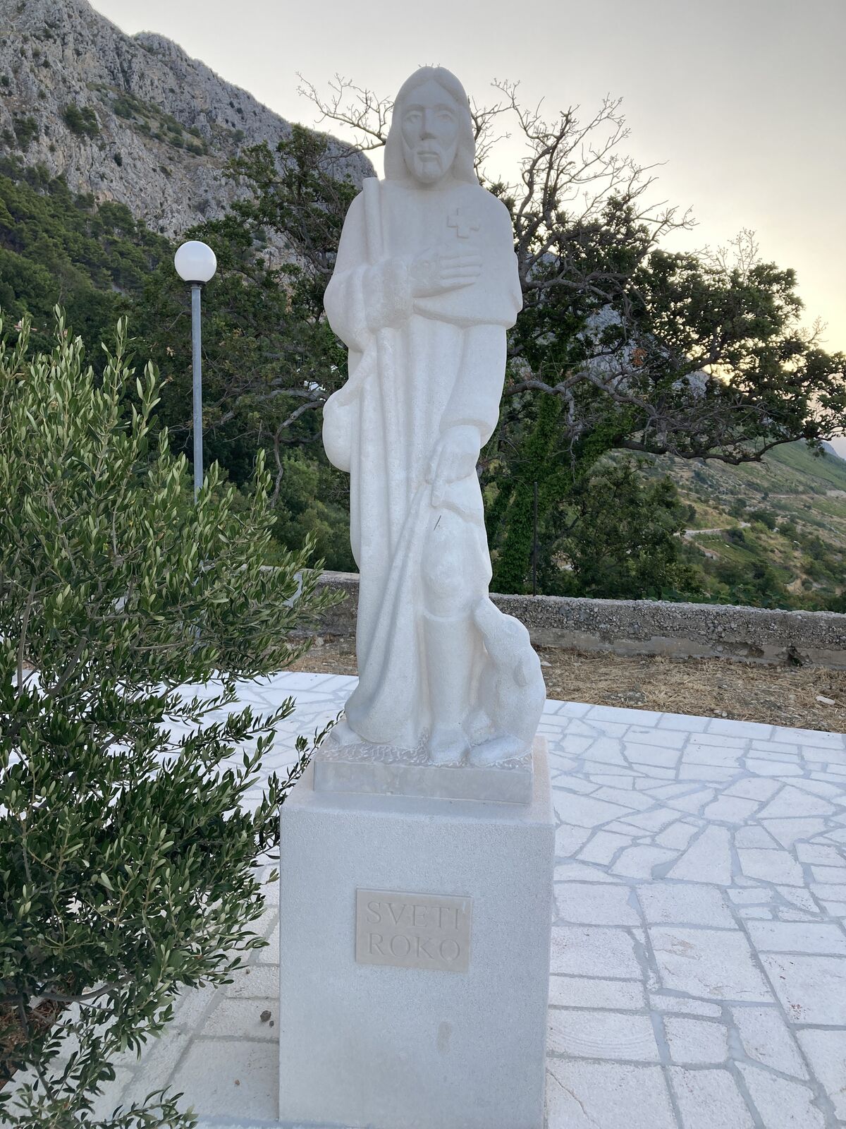
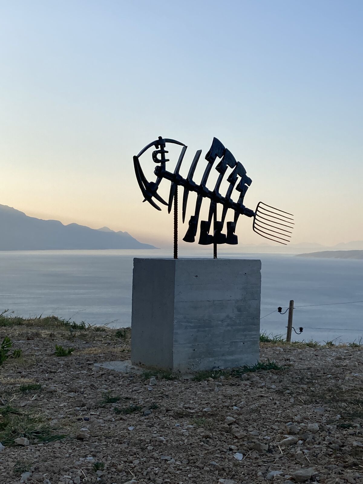
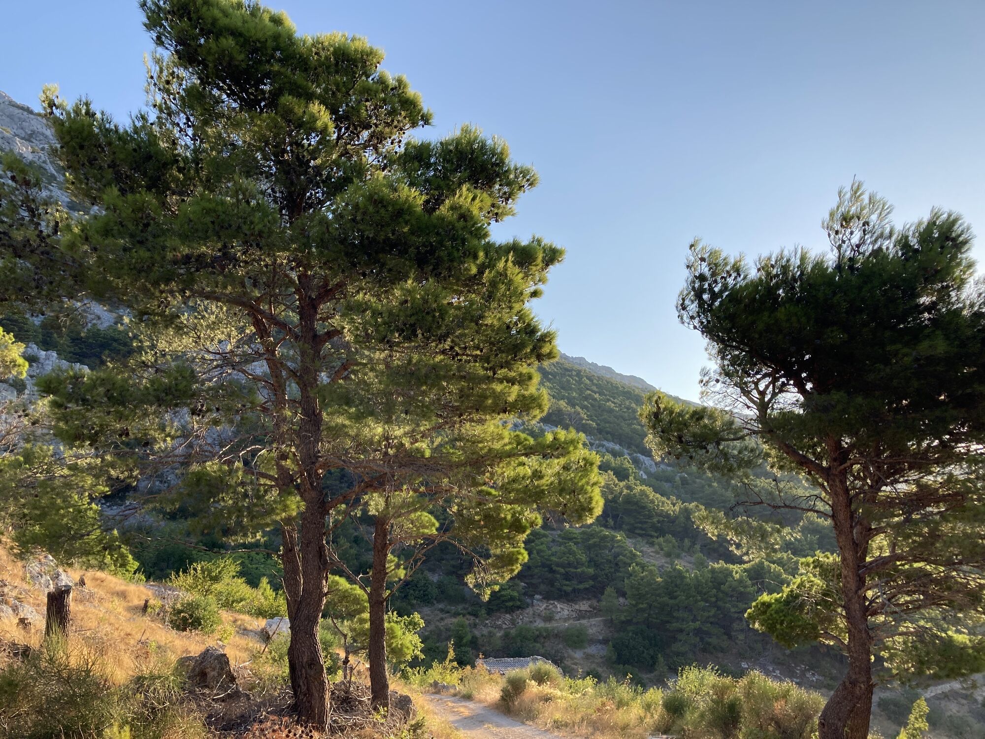
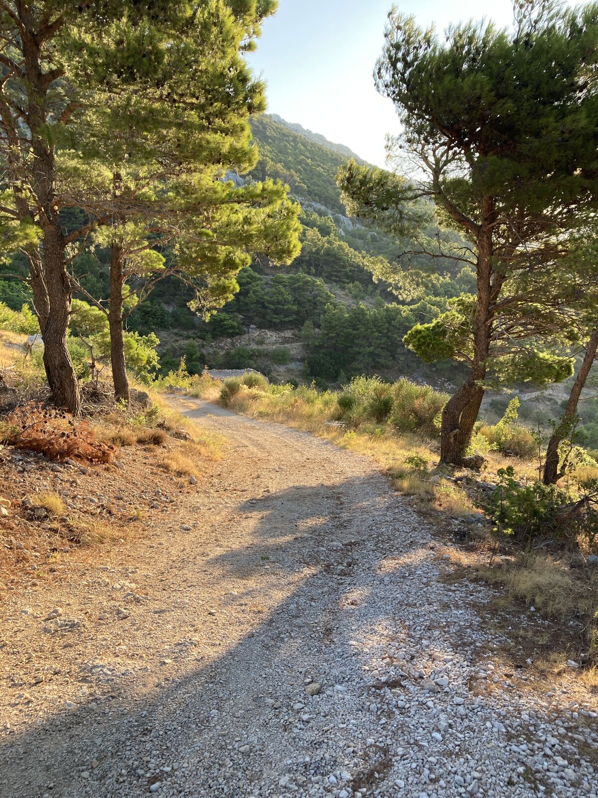
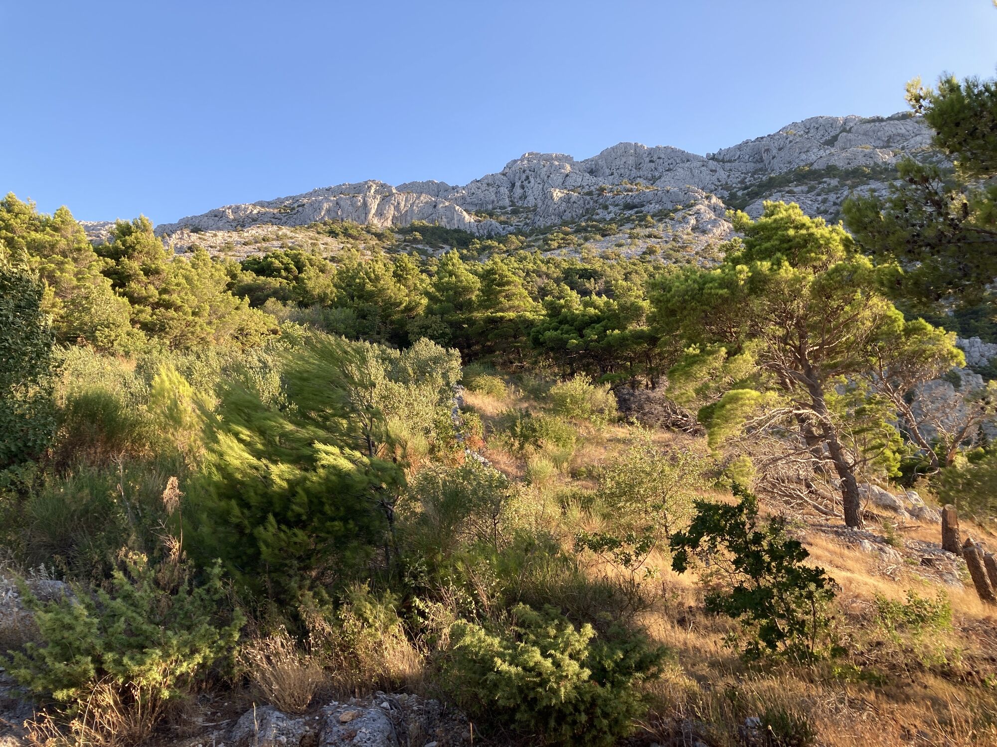
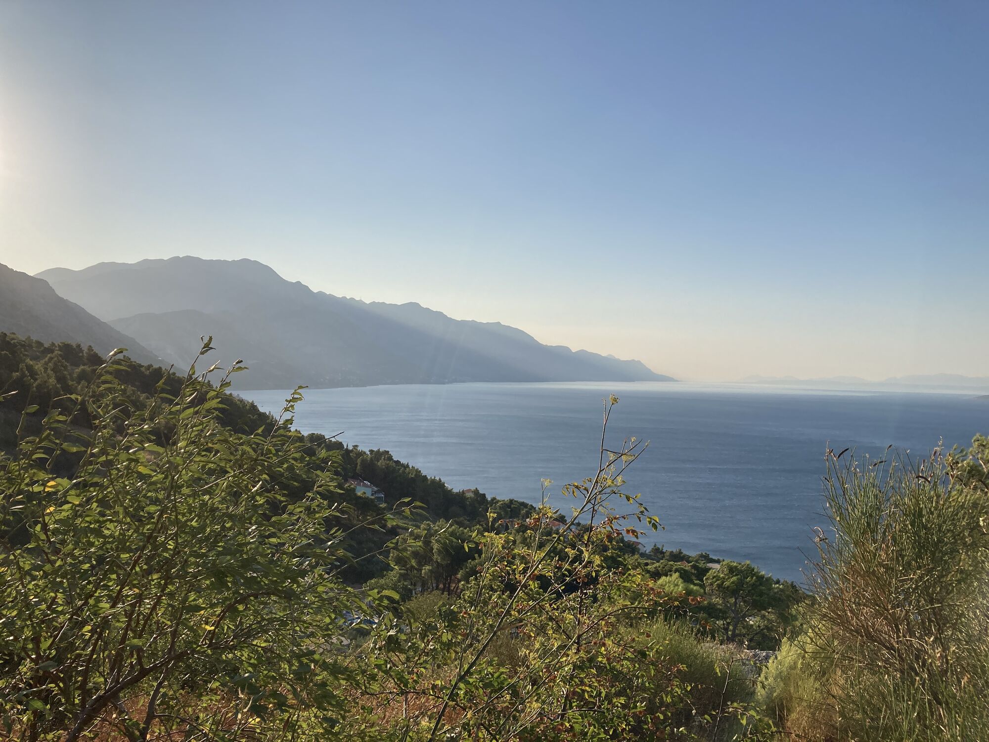
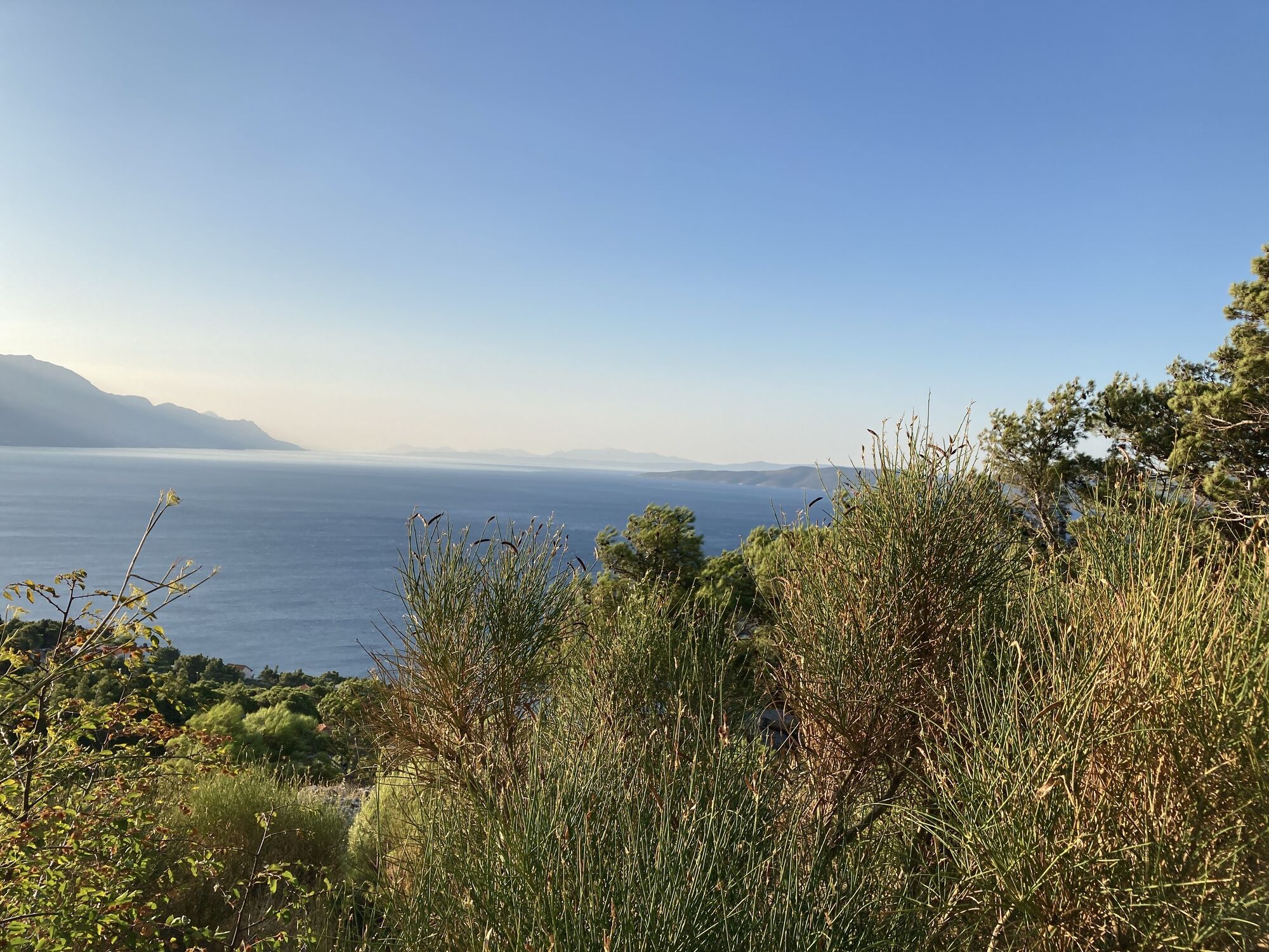
Omis bis Mimice MTB .
- Schwierigkeit
-
mittel
- Bewertung
-
- Wegverlauf
-
Ravnice0,1 kmStanići1,8 kmKovačići2,6 kmČelina2,9 kmLokva Rogoznica5,4 kmChurch of the Assumption of the Blessed Virgin Mary5,5 kmPorto San Francesco9,6 kmMarušići11,5 kmPorto San Francesco13,3 kmLokva Rogoznica17,0 kmČelina19,5 kmKovačići19,6 kmStanići20,3 kmRavnice22,2 km
- Höchster Punkt
- 256 m